Four Peaks And 14,268 Feet Of Climbing
Piloting a 675-pound Harley Fat Bob up San Francisco's four peaks in one day.
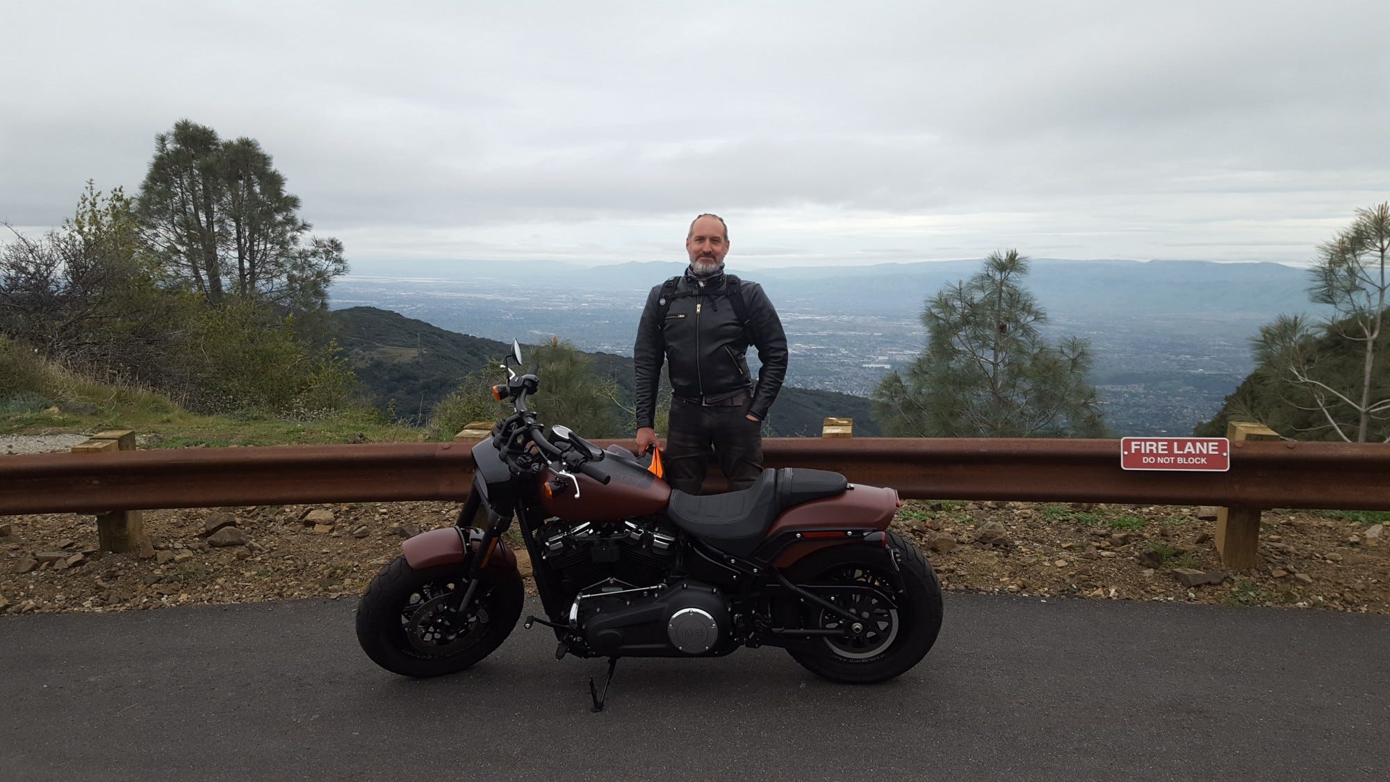
This article originally appeared on the Cycle World website in early April 2018, when I was Senior Editor.
As a 51-year-old born and raised in Wisconsin who didn’t ride a Harley-Davidson until 2015, when given the opportunity to ride one all around California for two weeks I chose the Fat Bob Softail. I was drawn to the brawny bars and front tire, and the un-Harley aesthetic. Riding it north on US Route 101 from Los Angeles last Sunday was fun, but I wanted a bigger and dumber challenge to really get a feel for the bike. So I called my moto buddy Ryan.
UNCHAINED: Becoming A Man In L.A.
This article was originally published in the July 2015 issue of CityBike.
“Want to ride the Bay Area’s four peaks in one day?” I asked point blank.
“Of course,” my Canadian friend said without hesitation. Then I told him the logistics: Mount Hamilton, Mount Diablo, Mount Tamalpais, and Mount Umunhum. Nearly 300 miles, with a combined elevation of 14,268 feet.
“It will take us 10 or 11 hours, you know,” I added.
“I’ll pack a large bag of Twizzlers,” he said. “See you early Thursday morning.”
I was initially a little nervous about conquering four twisty peaks on a 675-pound hog with forward controls, but those few days of aggressive survival riding in Los Angeles gave me confidence for our daylong adventure. Thankfully our Harleys are equally yoked in fuel range and power, so pinning it on long stretches between initial ascents was a time-saver.
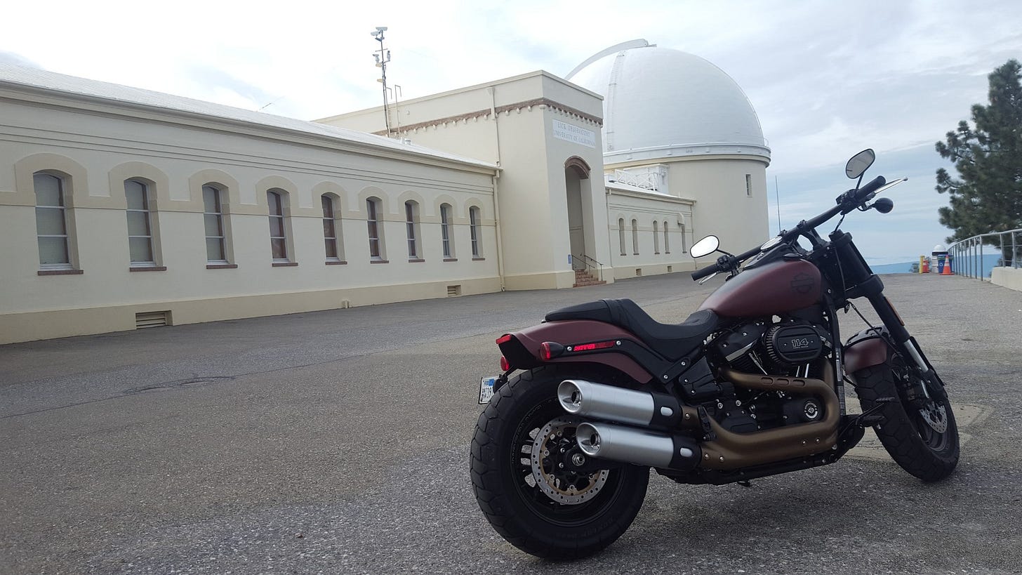
Mount Hamilton - 4,265 feet
Lick Observatory is at the top, and on clear days, Mount Tamalpais, the Santa Cruz Mountains, Monterey Bay, the Monterey Peninsula, and even Yosemite National Park are visible from the summit of the mountain. It wasn’t a crystal-clear enough day to see much. Originally known as Mount Isabel, the mountain is named after San Jose preacher Laurentine Hamilton, who ascended it with friends in August 1861.
I’ve climbed this mountain on a road bicycle and motorcycle before, so I know every curve, hairpin and sprinkling of gravel on the 19-mile ascent to the top from San Jose, where I swung by to pick up Ryan at 8 a.m. last Thursday. Commuter traffic was light on I-680 north, so swinging around to exit on state Route 130 was quick and easy. Our ascent began at 8:34 a.m., and we reached the top at 9:10 a.m.
SR 130 connects with Mines Road on the east side of the mountain, and luckily our path was clear despite some construction to patch up one side of the road that disappeared after recent heavy rain.
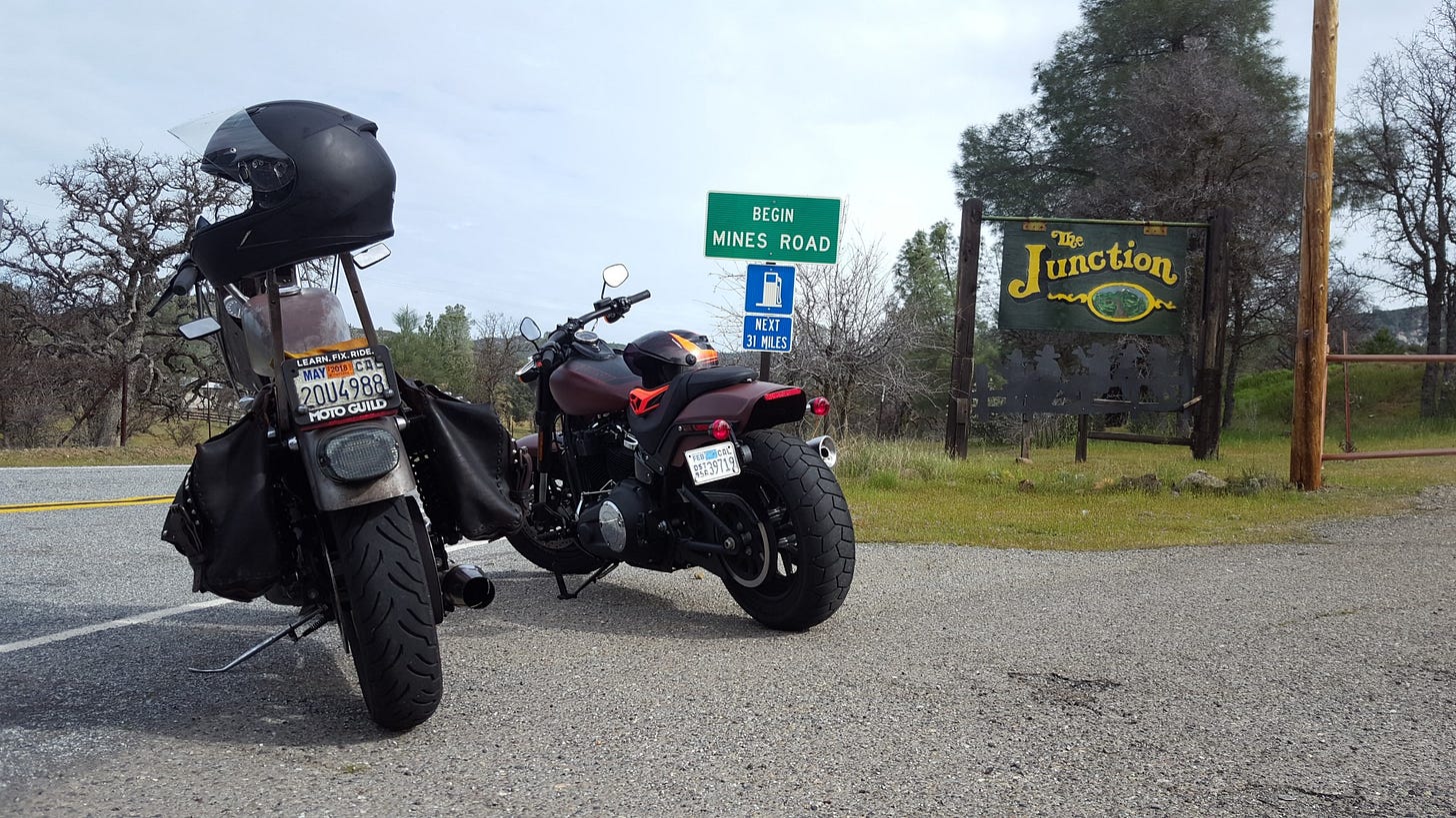
Thirty-one miles of serpentine and scenic Mines Road later, we fueled up in Livermore before rolling northwest to Mount Diablo in Walnut Creek.
Mount Diablo - 3,849 feet
The peak is in Mount Diablo State Park, a state park of about 20,000 acres with preserved lands on and around Mount Diablo totaling more than 90,000 acres. The peak derives its name from the 1805 escape of several Chupcan Native Americans from the Spanish in a nearby willow thicket. The natives seemed to disappear, and the Spanish soldiers thus gave the area the name “Monte del Diablo,” meaning “thicket of the devil.”
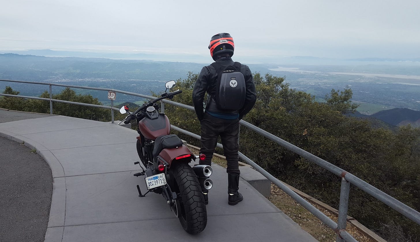
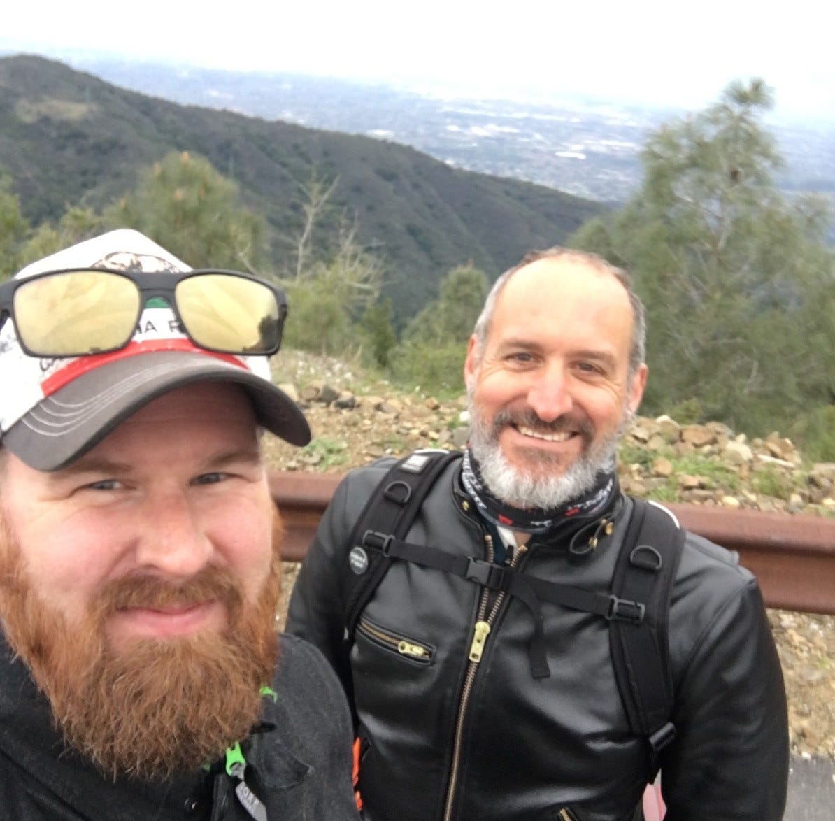
I’m familiar with the unrelenting and twisty ascent of Diablo from 22 years of bicycle and motorcycle experience, and we chose a Thursday to ride it to avoid too much tourist traffic. A stage of the Tour of California has finished at the summit a few times. Coming from the south at noon, Ryan and I ascended on South Gate Road, turning right at the ranger station. The wind was brisk at the top when we arrived at 12:33 p.m., and the foreboding dark clouds loomed large over Mount Tamalpais across the San Francisco Bay. A few sprinkles of rain speckled our visors as we descended and rolled west on SR 24 to Berkeley, where we stopped on College Avenue for burgers.
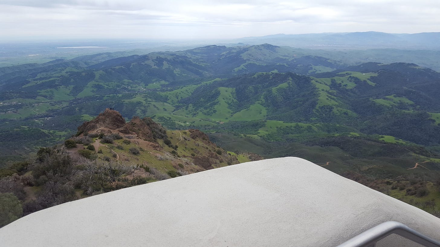
Mount Tamalpais - 2,571 feet
The name Tamalpais was first recorded in 1845. It comes from the Coast Miwok name for this mountain, támal pájiṣ, literally “west hill.” Mount Tam is famous as the epicenter of mountain biking, where Joe Breeze, Charlie Kelly, and Gary Fisher raced down the mountain on old paper boy “klunkers” in the event called Repack (so named because the rear hub bearings needed repacking after the perilous descent on coast brakes). More than 100 miles of trails and fire roads are open to cyclists, hikers, and horseback riders. Douglas firs and redwoods run rampant, and the view of the Pacific Ocean on a clear day is spectacular. Our view was mildly clear but still equally spectacular.
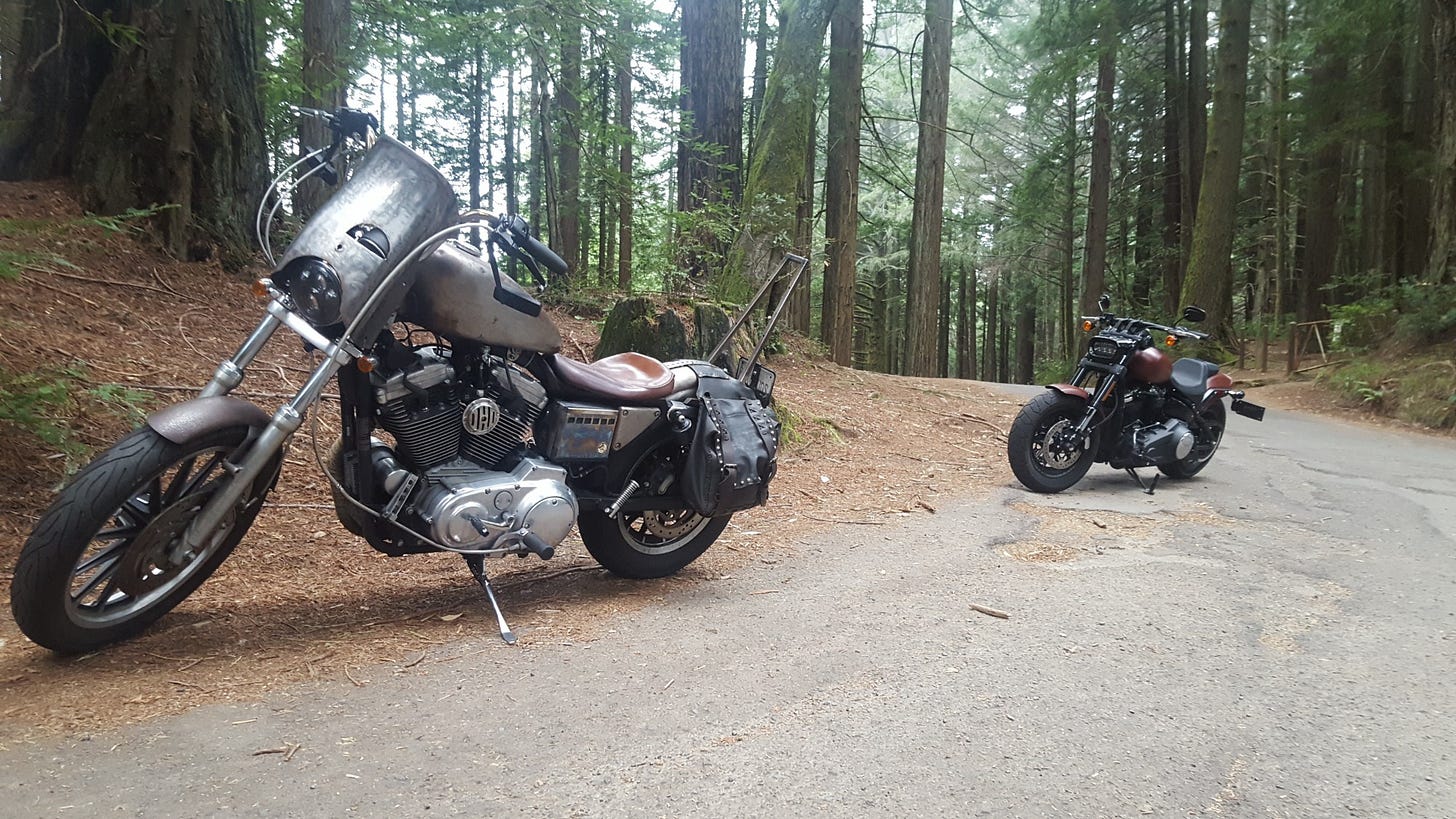
Ryan and I had just ridden Mount Tam 10 days prior on our last Sunday Moto Club ride to tour the Mountain Bike Hall of Fame. We were ascending it from Fairfax via Bolinas-Fairfax Road this time, crossing Ridgecrest Boulevard south before dipping down Panoramic Highway into Mill Valley, the opposite direction.
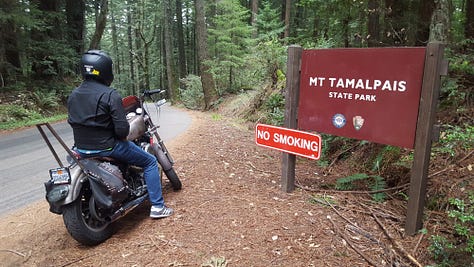
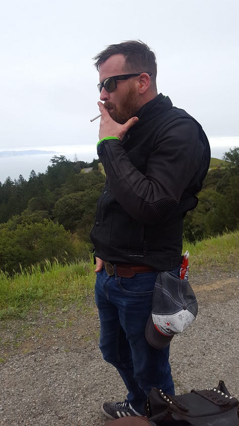
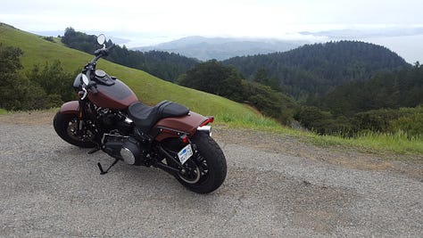
Our ascent began at 3:13 p.m. as we rolled past the Gestalt Haus. The broken asphalt was a bit unnerving as we sped past Alpine Dam, but with zero traffic, we reached Ridgecrest by 4 p.m. Mist and light clouds kept us from drinking in the full view of the Pacific on our right, but the view of Sutro Tower peeking through the clouds of San Francisco is always a treat.
After rolling across Panoramic, we wove our hogs down California state Route 1 into Mill Valley. We warmed our bones with coffee and a cookie from Good Earth Natural Foods in Tam Valley Junction before hightailing it south to cross the Golden Gate bridge and deal with traffic. Daylight was fading, and we had one more peak to conquer before darkness and rain stifled our plans, and it was waiting for us 75 miles south.
Mount Umunhum - 3,489 feet
The name Umunhum is Ohlone, meaning “resting place of the hummingbird.” The mountain is topped by an 84.5-foot-high concrete radar tower known locally as “the Box.” The tower was part of Almaden Air Force Station, a radar surveillance post which operated from 1958 to 1980. The Box housed an 85.5-ton AN/FPS-24 radar and was completed in 1962 and used to watch for hostile aircraft during the Cold War. Its signal puts an electronic zip into every radio, TV, and sound system within its 250-mile range on every rotation. In 1980, the summit was closed to the public due to hazardous materials and unsafe, partially demolished structures from the former Air Force station.
On September 18, 2017, the paved road, a mountain biking and hiking trail to the summit were opened. I rode my BMW R 1150 RT up the new road two days later with friends.
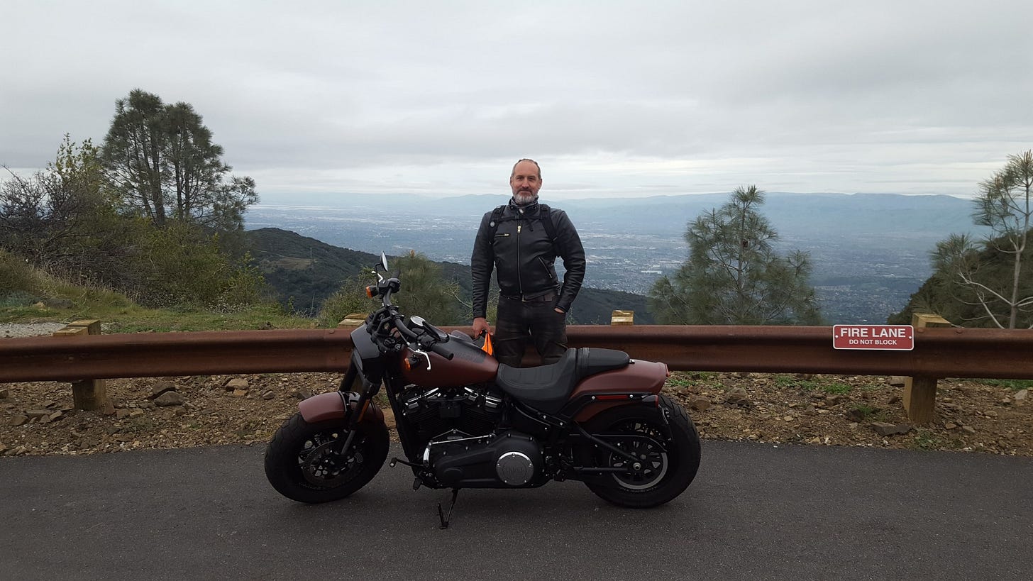
Ryan and I made it through San Francisco safely in moderate traffic, and after lane sharing on I-280 and Highway 85 south, we exited on Camden Avenue in Campbell. A right turn onto Hicks Road led us to the base of Umunhum, where we were greeted by fresh pavement and enough daylight to make it to the (nearly) top. The gate blocked our path to the Box, but we were happy to high five our effort with a view of our beloved Silicon Valley moments before the sun set and the rain doused our excitement.
Ryan texted me this morning to say he was a bit sore.
“How are you feeling today? My neck is sore from wearing a heavier helmet.”
“I could ride it again today,” I responded.
I’m no Carlin Dunne, and I have no aspirations to race up Pikes Peak. But I can say with a smile that I climbed the Bay Area’s four peaks in a day on a Harley Fat Bob. And I slept like a baby as Fat Bob ticked quietly in my garage.


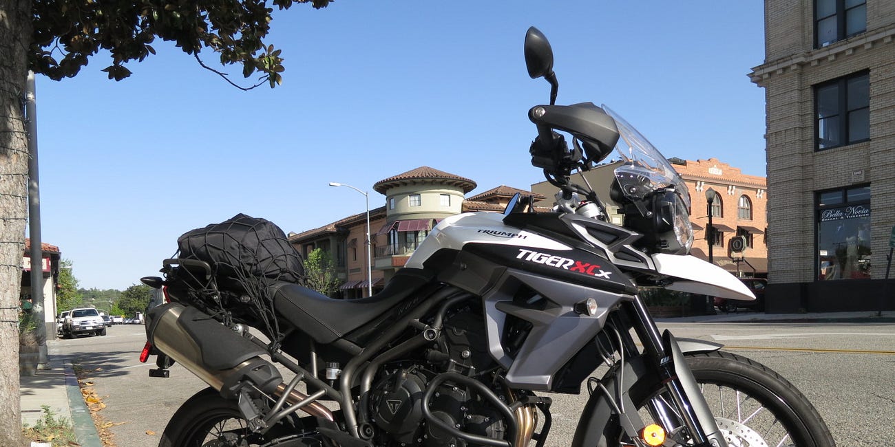
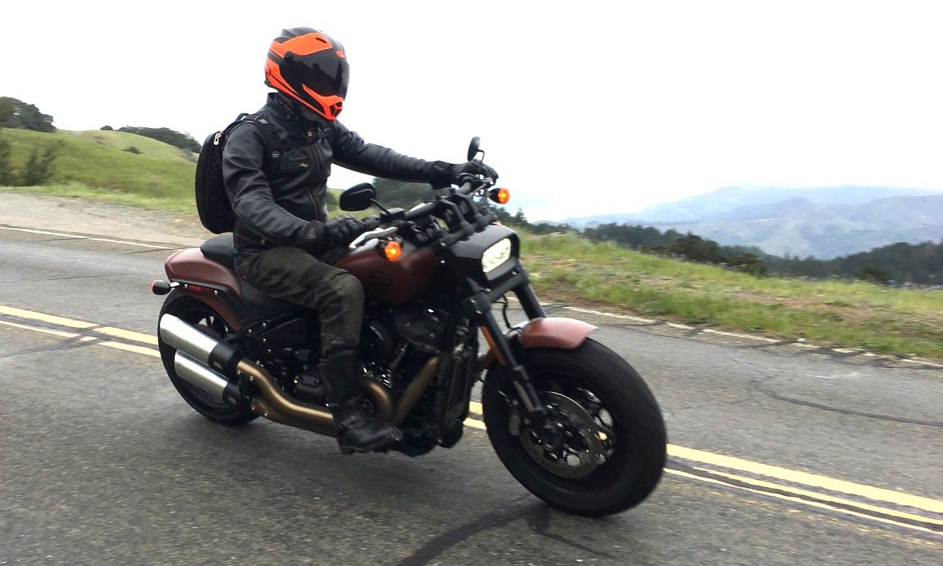
I've climbed three of those peaks on powered and pedaled two-wheelers, but I'd never even HEARD of the fourth! That sounded like fun, with enough stops so it wasn't a death march.