The old adage that ‘April showers bring May flowers’ still holds true, but in the case of California's record rain between January and March, I’d venture a more apropos statement is ‘biblical rain brings color to the Plain,’ which in this case is the Carrizo Plain in San Luis Obispo County. Travel pal Brian and I rode there and back a couple weekends ago to see the superbloom, taking the scenic route away from major highways every chance we could.
The 246,812-acre Carrizo Plain National Monument stretches 50 miles long and up to 15 miles wide, nestled along the San Andreas Fault about 100 miles northwest of Los Angeles and 234 miles southeast of my home base near San Jose. Brian mapped out another stupendous two-day adventure, with the former oil-boom town of Taft as our destination for the night.
We loaded up the same bikes used for our recent four-day Death Valley tour – Brian on his Triumph Tiger Explorer 800 and me on the Moto Guzzi Quota 1100 – but packed lighter to handle all the offroading we knew would add more scenery and fewer tourists.
With a moderate weather forecast and clear roads ahead, we rolled down CA-101 to San Juan Bautista, enjoying Union Road to circumvent busy Hollister before flowing south on Airline Highway 25. The debris and flooding we experienced on our return from Ridgecrest on March 21 had cleared, especially on Peach Tree Road south of CA-198 in San Miguel. A few weeks of sunshine and dry weather had helped, but there’ll be major road reconstruction in our future.
We stopped at the intersection of Peach Tree and Indian Valley roads near Rambo Spring to grab a snack and sip water, when an old rancher pulled up in his Silverado asking if we were okay. Turns out he ‘only’ owns 2,000 acres in God’s country, referring to his property as a ranchette in comparison to the 20,000-plus acres owned by several neighbors. He was an excitable chatty Kathy.
We continued south as the barely-two-cars-wide Indian Valley Road wound its beautiful way into the outskirts of San Miguel proper, continuing on to Paso Robles via River Road and Brian’s favorite lunch stop: Subway. A quick (and expensive) refueling sent us east on CA-46, where most traffic was making a fast beeline to CA-5 and Bakersfield. We hung a right at the tiny hamlet of Shandon, sailing across busted asphalt on San Juan Road before turning right on Shell Creek Road. The plains began filling with color as our first signs of the California superbloom came into view, as did carloads of onlookers.
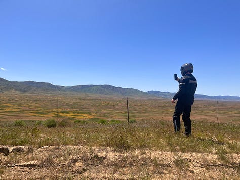
We stopped twice to see the flowers close up, snapping some pics but not wanting to delay the real visual prize waiting for us on CA-58 east. The heart-pumping curves dissipated quickly as CA-58 straightened out, buttressed by the Topaz Solar Farm on both sides of the highway as we turned right on Soda Lake Road. We made it to the outer reaches of the Carrizo Plain National Monument, where the explosive yellows and purples crept outward and up the foothills across Soda Lake.
There are dozens if not hundreds of narrow paths spidering off Soda Lake Road, allowing walkers, cyclists and capable motorcyclists to get away from traffic and closer to the natural beauty that draws so many to such a desolate area of southern California. And just when I thought we were about to pop out the other side onto CA-166 for Taft, Brian tells me there’s 30 more miles of light gravel and dirt ahead. It’s what he advertised so I was more than ready.
One might say the secret to really enjoying a proper superbloom is going where the crowds wouldn’t think of going, so we kept riding past the center of Carrizo Plain, only to be rewarded with clear views of Caliente Mountain from the valley below. Traction was mostly fine on the dirt, but the dust kicked up from slow-moving cars was a challenge. We saw a handful of friendly riders heading in the opposite direction as we made it to CA-166.
Westside Highway 166 is wonderfully paved, smooth and cambered where it needs to be, and a joy to ride. We dropped the few thousand feet of elevation gained on our way to Maricopa, but the always-curious Brian pulled left onto Elkhorn Grade Road to see where it might take us, taking advantage of the extended daylight and cooling temperature.
I must add that neither bike has pure off-road tires. Brian digs his Continental Trail Attack 3s because he digs on-road grip and performance. He convinced me to get the same tires for my Quota last year, and while they do an admirable job on gravel, it’s loose sand with deep ruts that pucker me up. And as you can imagine, the heavy rain that ravaged all of California left its indelible ruts, especially in arid and dry areas like Maricopa.
Elkhorn Grade Road eventually reaches one of the most glorious overlooks one could hope for to look down upon the Carrizo Plain. But we only made it about a third of the way up the 24-mile unpaved road, which began to narrow as much as it climbed to the clouds. Having drivers behind the wheel of sedans and Priuses coming down the steep grade didn’t inspire confidence, so I called a silent audible and turned back, hoping that Brian would do the same. I processed the risk versus reward, and decided to turn around.
We slowly climbed down, picking our way over the deep ruts, reaching the familiar asphalt of CA-166 before heading north on CA-33 to Taft and our hotel. A quick shower and short walk into town brought us to Asian Experience for a delicious and affordable Thai dinner.
Day Two
Sunday morning broke kinda early, and while we were in no rush to leave the comfort of the Best Western Plus Taft Inn, the roads and more superblooms were calling. The later our departure the heavier the tourist traffic from LA and SF, so we boogied north on CA-33 to CA-58, recently reopened after landslides closed it down in March.
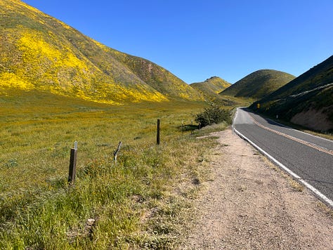


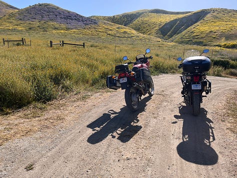

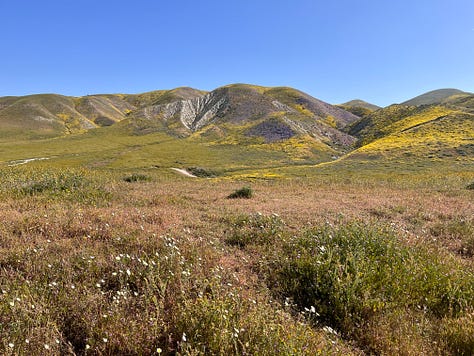
It’s a curious thing to ride past thousands of acres of oil drilling equipment with pumpjacks methodically bobbing up and down, not a soul in sight on the weekend. Right before reaching McKittrick we turned left on Blue Star Memorial Highway 58, a smooth ribbon with twists and turns that climbs before it climbs some more, providing jaw-dropping views of the Temblor Range on our left and Temblor Valley on our right.
Brian’s plan was to lead us back to Soda Lake, this time on the eastern side along the ridge on 7 Mile Road, which proved to be ideal. A ‘secret’ grid of dirt roads splintered off 7 Mile almost immediately, bringing us closer to the wildflowers and superbloom bliss.
Back on CA-58 heading west, we turned right to head north on Bitterwater Road, skirting past ranches, farms and rolling hills that eventually took on a curious and craggy 1970s shag carpeting appearance, mixed with wildflowers and grazing cattle. We were smack dab in the middle of San Andreas Fault territory, which also affected the asphalt with harsh ripples around a few blind corners.
As we reached Choice Valley, Bitterwater turned into Annette Road, reverting back to Bitterwater Road after passing through Palo Prieto Pass. With nary a car in sight, we enjoyed our solitude and pinned it to CA-46, turning right before hopping on CA-41 near the intersection where the actor James Dean met his Maker behind the wheel of his Porsche 550 Spyder in late September 1955.
With crosswinds whipping up in a slow frenzy and Sunday traffic picking up, we turned left on CA-33 to Avenal, just beyond the State Prison, one of many we’d ride past that day. We needed a break and some fuel, so we stopped at a crowded interstate gas station to regain some energy for the next leg of our tour.
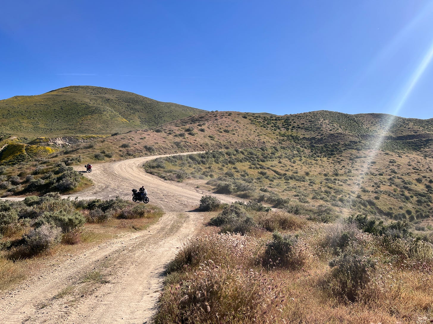
We begrudgingly hopped on CA-5 north for 40 windy and hellbent miles, exiting on Panoche Road. The road ahead wasn’t paved, and it was gonna be scenic and remote. We were westward bound to Paicines south of Hollister, and the road turned to gravel a quarter mile past the Wayback Burger joint. Boy howdy it was adventure time!
The next 30 miles belonged to us. A glorious mix of public and private land as far as the eye could see—with a gentle breeze and little to no traffic—meant we could cruise along and stretch our legs. Panoche Road took us through Tumey Hills Box Canyon and Right Angle Canyon with Silver Creek as our guide.
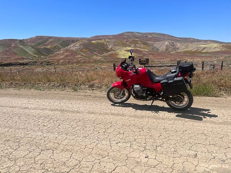



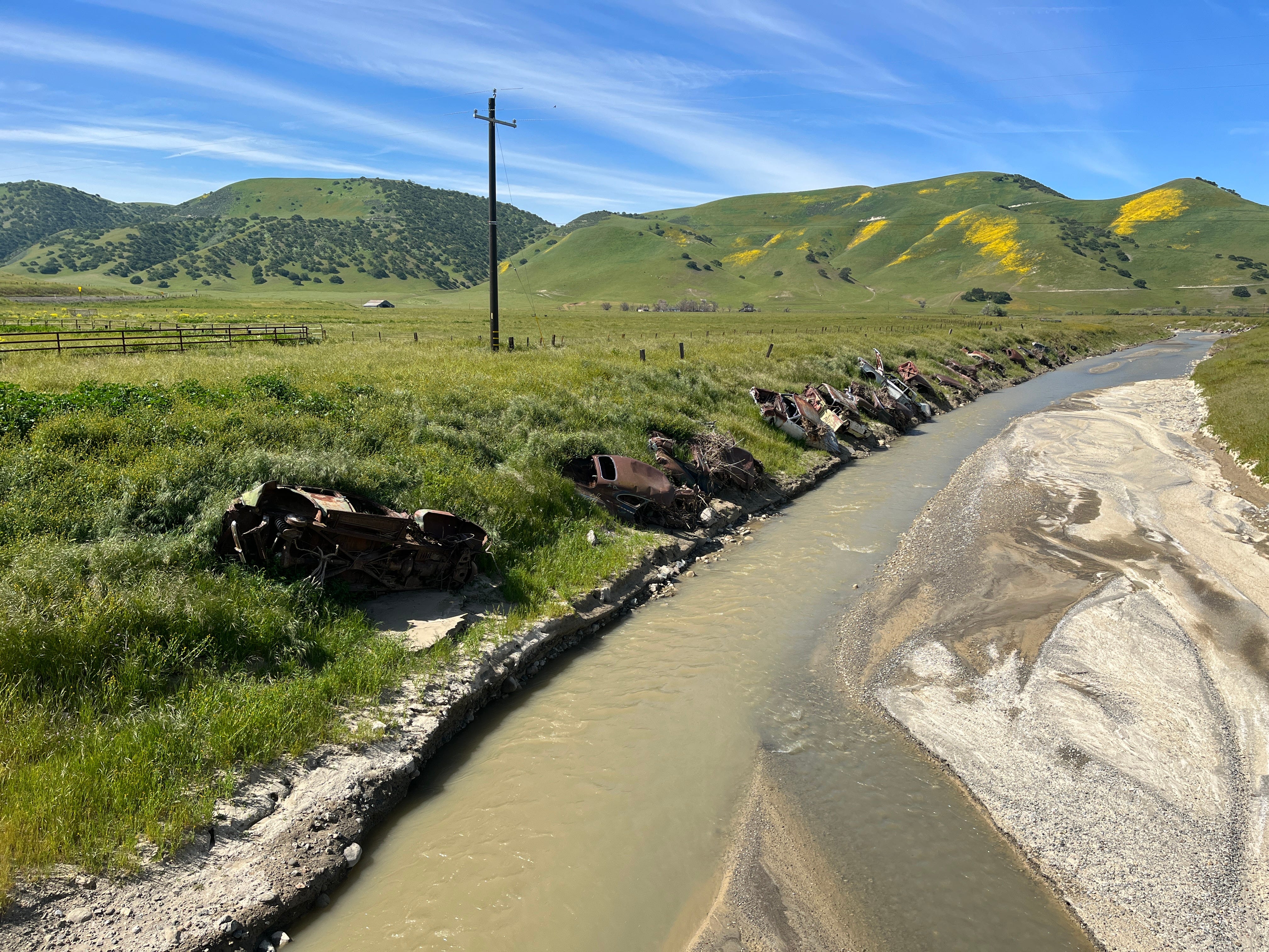
We crossed the flooded Panoche Creek before stopping for refreshments on the side of the road, waved hello to several bikers out front of the Panoche Inn bar, and enjoyed the curves of Bitterwater Canyon after passing Yturiarte Road. Panoche Road really got jiggy, especially past Summit Ranch and Panoche Pass. Some welcome elevation started popping up around Las Aquilas Creek, and continued to Cottonwood Road before flattening out a little past the Wildlife Rehabilitation Center, as Panoche Road delivered us to the Alba Coast Winery, US Postal Service and Paicines General Store at Airline Highway 25.
The remainder of our trip home was uneventful, thankfully. As every Bay Area rider has experienced on a Sunday late afternoon heading north, CA-101 gets backed up south of San Juan Bautista and doesn’t thin out until after a 25-mile stretch beyond Morgan Hill.
After riding more than 560 miles in two days, it was time to unpack, shower, and wash the bike. My ‘Sheriff Tidy’ tendencies kick in on the heels of big adventure. Once again we had straddled the mighty San Andreas Fault and returned home unscathed.
About the San Andreas Fault
Northwest of Frazier Park in Kern County, the fault runs through the Carrizo Plain, a long, treeless plain where much of the fault is plainly visible. The Elkhorn Scarp (below, on the lower right) defines the fault trace along much of its length within the plain.

The southern segment, which stretches from Parkfield in Monterey County all the way to the Salton Sea, is capable of an 8.1-magnitude earthquake. At its closest, this fault passes about 35 miles to the northeast of Los Angeles. According to experts, such a large earthquake on this southern segment would kill thousands of people in Los Angeles, San Bernardino, Riverside, and surrounding areas, and cause hundreds of billions of dollars in damage.
The Pacific Plate, to the west of the fault, is moving in a northwest direction while the North American Plate to the east is moving toward the southwest, but relatively southeast under the influence of plate tectonics. The rate of slippage averages about 1.3–1.5 inches a year across California.
Assuming the plate boundary does not change as hypothesized, projected motion indicates that the landmass west of the San Andreas Fault, including Los Angeles, will eventually slide past San Francisco, then continue northwestward toward the Aleutian Trench, over a period of perhaps 20 million years.






This was a fun read - I followed along on a map. Our state is amazing!
Thanks for the ride! Not one I’d have taken with any speed so it was nice to ride along without any personal “pucker.”